Two more storms headed to Colorado mountains, with warning of thunderstorms, gusty winds and sub-freezing temperatures

Randy Schuetz/Courtesy photo
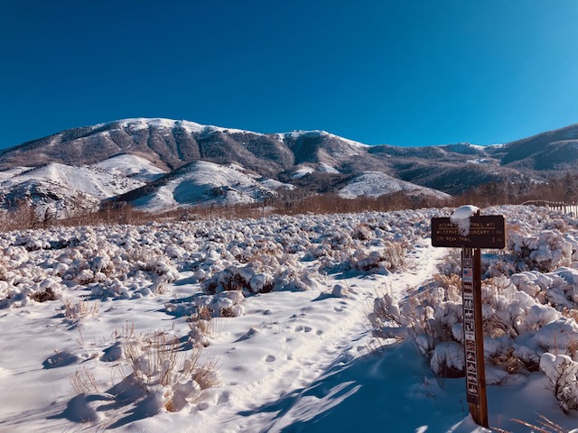
Two more storms are headed to Colorado’s northern and central mountains this week, bringing a mix of rain and snow to several resorts.
The first storm will begin Monday night and bring roughly 2-4 inches of snow to several resorts through Tuesday and into Wednesday afternoon, according to a Monday OpenSnow report. While some resorts like Steamboat, Vail and Aspen are expected to see a mix of rain and snow, resorts closer to Breckenridge will see steady snowfall throughout the day.
According to the National Weather Service, Tuesday’s storm will also be accompanied by some thunderstorms, particularly for valleys like Glenwood Springs and Steamboat Springs. Wind gusts of up to 50 miles per hour will also accompany the stormy weather, according to a hazardous weather outlook posted on Monday. Mountain base towns can expect temperatures in the 30s and 40s.
The National Weather Service also issued a freeze watch from late Tuesday night through Wednesday morning, warning of possible sub-freezing temperatures for cities including Craig, Rifle, Glenwood Springs and Eagle.
After drier conditions on Wednesday evening and Thursday, a second storm will arrive Thursday night through Friday night. The second storm will be colder, bringing another 3-6 inches to the northern and central mountains. Resort towns can once again expect highs in the 30s and 40s, with some accompanying thunderstorms and wind gusts on Friday.
Storm totals for both storms could range from 7 inches for Aspen, Vail and Breckenridge, to 13 inches for Steamboat Springs.
Looking ahead, the weekend will see a return to dry conditions. More snow could be possible around April 23-30, according to OpenSnow.
With the exception of a series of storms in early April, Colorado’s statewide snowpack has continued to decrease since mid-March. The statewide snowpack has historically peaked during the first half of April — as of April 13, however, the snowpack barely measures 17% of the median peak, supporting the concern of several meteorologists that the snowpack peaked roughly one month early and is now seeing early meltoff.
Support Local Journalism
Support Local Journalism
As a Summit Daily News reader, you make our work possible.
Summit Daily is embarking on a multiyear project to digitize its archives going back to 1989 and make them available to the public in partnership with the Colorado Historic Newspapers Collection. The full project is expected to cost about $165,000. All donations made in 2023 will go directly toward this project.
Every contribution, no matter the size, will make a difference.